Urban Design Graphics Package
Livable City Year 2017-2018 – City of Tacoma
UW Faculty: Mackenzie Waller and Dan Abramson, Dept. of Urban Design and Planning
City Project Leads: Lauren Flemister, Planning and Development Services
Project summary
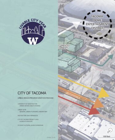
The City of Tacoma requested a graphics package that explains basic concepts of urban design – including zoning, land use, and other spatial planning concepts – to the public using maps, diagrams, sketches, photographs and infographics. The graphics package presented here shows different aspects of the public realm in the context of three Tacoma neighborhoods: Hilltop, Proctor, and South Tacoma. While some graphics represent broader pedestrian, bicycle and transit networks at a citywide scale, others address factors like resilience, green infrastructure, access and identity at the scale of a 20-minute walk radius around mixed-use neighborhood centers. Other graphics consider an even closer site scale, illustrating block typologies, concepts of right-of-way and alley design, façade treatment, and activation of under-utilized spaces.
Finally, some graphics provide a visual representation of a process, for example, how one might change a public space such that it retains the intangible heritage of a neighborhood, or affords temporary uses. Ultimately, these graphics intend to inspire creative contextual problem-solving, and non-prescriptively guide the future development of the public realm in Tacoma. We hope that the City of Tacoma may use them to support future urban design initiatives.
Part of the 2017-2018 Livable City Year partnership between the University of Washington and the City of Tacoma.
See all Livable City Year projects in Tacoma that UW students and faculty worked on during the year-long partnership.
